India Street, Arusha, Tanzania - East Africa

India Street, Arusha, Tanzania - East Africa


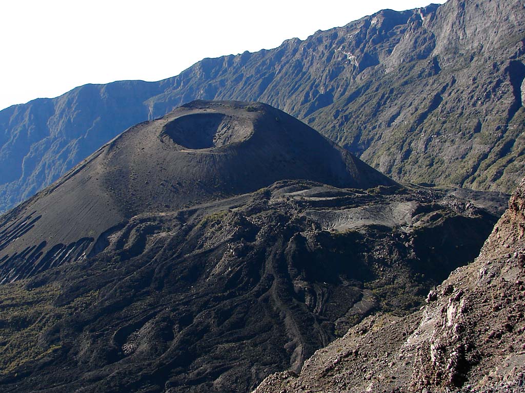
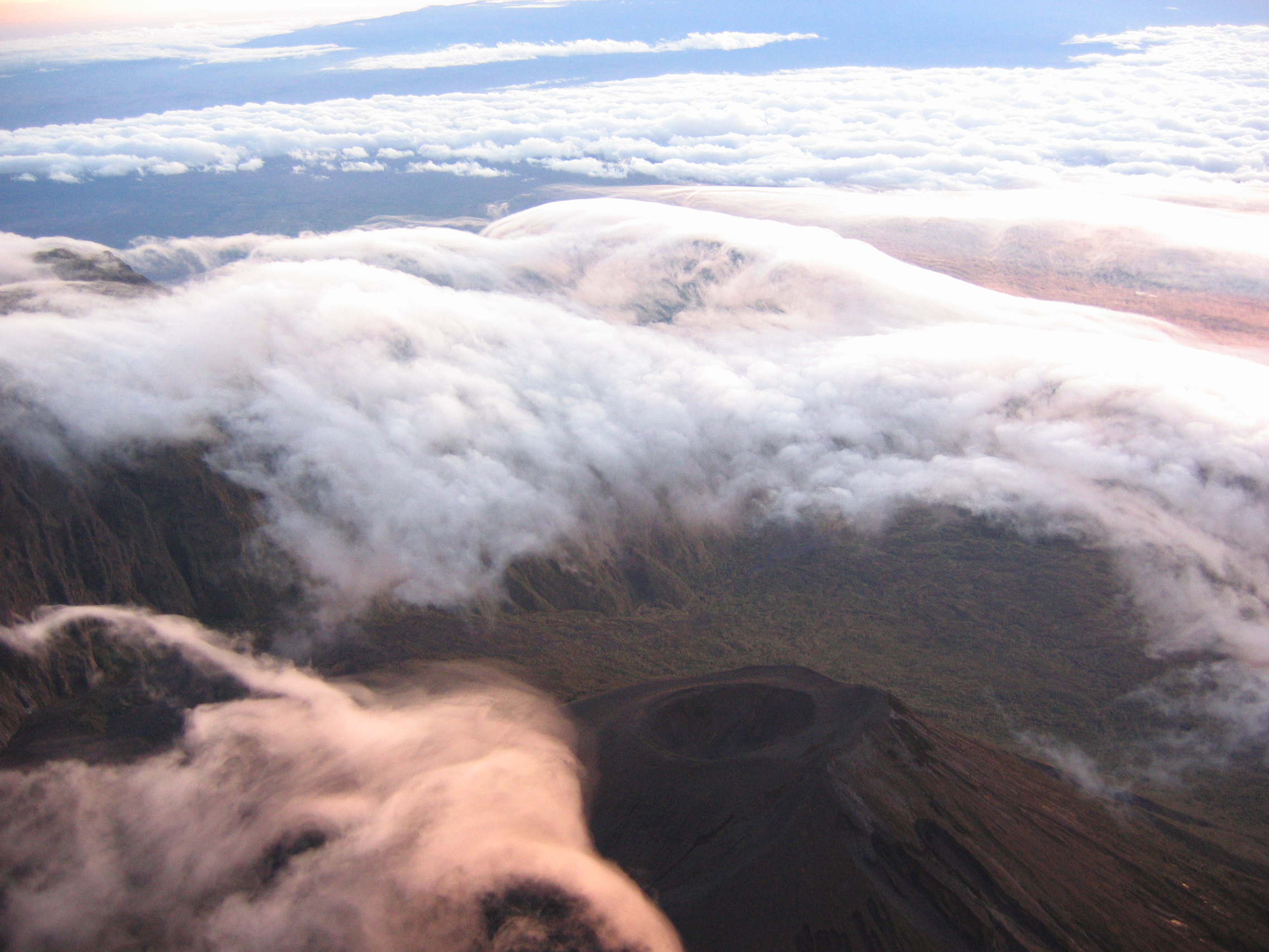
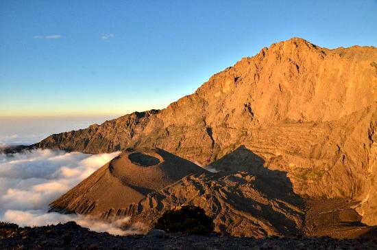
Drive from Arusha to Arusha National Park and transfer to Momella gate (alt. 2100m) followed by a climb to Miriakamba Hut (alt. 2541m) for dinner and overnight.
Climb to the big valley then to Saddle Hut (alt. 3570m), dinner and overnight.

Final ascent to the Meru Peak 4566m, descend down to Saddle Hut then to Miriakamba Hut for onwards transfers.

Pick up in Arusha and transfer to the Maasai Community campsite near Lake Natron. The concluding part of the drive is through fascinating scenery with mini-calderas punctuating the landscape. The camp is located at the base of the Great Rift Valley, with the Ngorogoro Highlands above. It's possible to arrange a traditional goatroast for dinner.

Early morning short drive and walk to the shores of Lake Natron. Here you will see many flamingoes and maybe a jackal on the prowl for its breakfast. After lunch there will be another short hike to Engaresero Waterfalls with a naturally formed, incredibly convenient jacuzzi! Dinner will be early as it is important to get a few hours sleep, before being roused at 11.30pm to make the final preparations for the hike.

At 12.00am leave the campsite and make the short drive to the base of Ol Doinyo Lengai - and begin to climb the Mountain of the Gods. The path itself is quite difficult underfoot and steep the whole way. Towards the rim it turns into powdery ash - like trudging through deep soft snow! Arriving at the summit in time for sunrise, the perfect reward! This volcano is active and glowing rock can often be seen bubbling out of the numerous ash cones on the top. Descend late morning in time for a good lunch, dip in the stream and a celebratory beer! Overnight at the campsite

After a relaxing morning including an optional game drive to Lake Natron or swimming in the waterfall pools, transfer to Arusha with optional further safari, or connections to Dar or Zanzibar.

We drive from Arusha town with our lunch boxes via Makuyuni and Mto wa mbu village straight to Ngorongoro Conversation Area
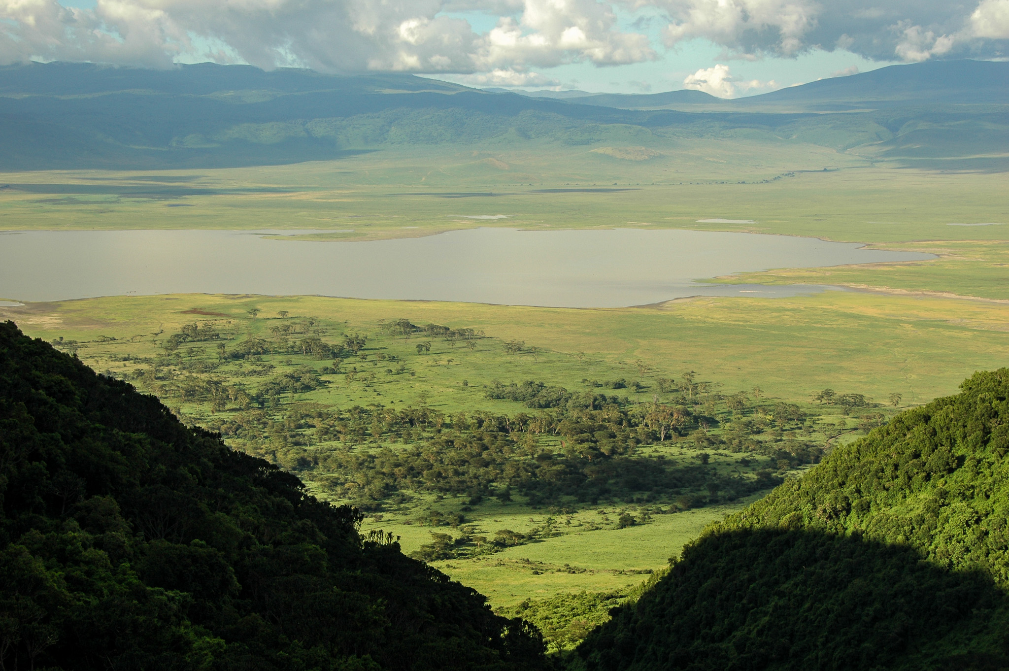
The jewel in Ngorongoro crown is a deep volcanic crater the largest unfolded claderd in the world 19.2 km in diameter, 610 deep and 304 square km in area.
Subsequently awarded world heritage site and international biosphere reserve status, the Ngorongoro ranges in altitude from 1,020m to 3,587m. The rich pasture and permanent water of the crater flood supports a large resident population of wildlife up to 25,000 predominantly grazing animals and predators.
Dinner and Overnight at Ngorongoro on the rim of crater

We drive beyond Ngorongoro crater for 45 minutes to Nainokanoka village, we prepare donkeys and take one armed ranger then we start our trekking with our lunch boxes from Nainokanoka village via Olmoti crater, Embulubul depression to Bulati campsite.
The rim of Olmoti crater is at 3,700 metres but the crater itself is relatively shallows. The grassy caldera is home to bush buck, sometimes buffalos along with the Masaai and their livestock. Water flows across the crater to the south side where pours out through a cleft is a small but spectacular waterfalls known as Munge Sreams.
Dinner and Overnight at Bulati Campsite (At Bulati there is toilet facilities but no possibility of taking shower due to lack of water)

After breakfast we start our trekking from Bulati campsite to Embakai crater without lunch boxes.
The 300 meter deep 6 km wide, Embakai crater is dominated by a very deep sopa like which occupies nearly half the floor. Water birds such as the black winged stilt, cape teal and flamingo inhabit its shores. Much of the 32 km crater rim of Embakai can be walked and provides spectacular views, wildlife is often seen around the lake.
Dinner and Overnight at Embakai Campsite
After breakfast we start our trekking from the rim of Embakai crater via Nayobi village to Accacia.
The nature of yellow backed acacia, the view of Oldonyo Lengai the active mountain and Lake Natron and activities of Maasai tribes.
Dinner and Overnight at Accacia Campsite
After breakfast we start our trekking with our lunch boxes from accasia campsite straight to the base of the great rift valley the place where we rich our vehicle, so that the donkeys and Maasai they go back, but this will take two days for them to rich Nainokanoka village again. We park our luggage into our vehicle then we drive for short dry plain to Kamakia campsite.
Rift valley running from the North Africa to the South.
Rift valley is one of the most remarkable features of the entire earth crust; it is also geologically phenomenon that has not repeated anywhere else on earth.
Rift valley it’s a long chasm which begins in the foothill of the Turkeys mountain run through Jordan and form the valley of the river Jordan and dead sea goes under the red sea and splits the mountain of Ethiopia into two parts finally ending in Malawi: The valley is hot, dry plain in certain parts you can find the volcanic rubbles, poudary ground, there the remainings of soda takes but they have no water running out of them.
Such example of this lake is Manyara, lake Eyasi and lake Natron.
At kamakia campsite there is shower, toilets, soft drinks and beer.
After breakfast short walking to the lake Natron for bird watching, and for the water falls. Later on depart with lunch box and drive back to Arusha
This extremely alkaline lake is a major source of food for flamingos, who thrive on the algac which grows there Lake Natron, just outside the Ngorongoro conservation area to the north-east, is the largest breeding ground in East Africa for flamingos